
HOA Management in Fountain Inn, SC
William Douglas Management is a leader in customer service — the experience and expertise that your association needs and deserves!
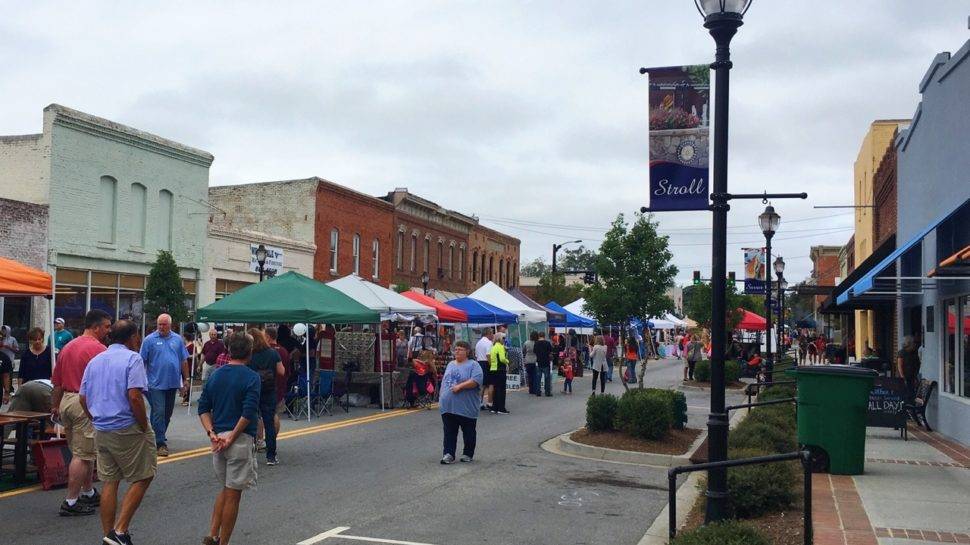
Fountain Inn is a charming town nestled in the foothills of upstate South Carolina
Fountain Inn is a charming town nestled in the foothills of upstate South Carolina, with immediate proximity to the bustling city of Greenville.
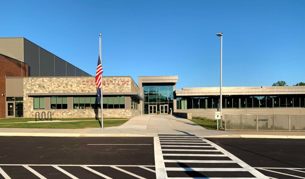
he town prides itself as business- and family-friendly, and these values have helped Fountain Inn grow steadily in the past decades. Despite this growth, residents enjoy a tight-knit community with access to excellent schools, plenty of recreational opportunities, and an historic downtown. If your community is looking for new HOA management, please consider William Douglas Property Management. We have years of experience in the area, which has given us unique insight to the needs of residents in Fountain Inn.
Fountain Inn, South Carolina Facts
Fountain Inn, South Carolina, or the City of Fountain Inn is located within Greenville and Laurens counties. Fountain Inn is around 20 miles from downtown Greenville. The 2019 U.S. Census estimate for Fountain Inn was 10,441. Fountain Inn’s zip code is 29644 and the area code is 864.
Fountain Inn was chartered on December 24, 1886. The city’s name “Fountain Inn” originates from an inn on the Old Stage Road that had a fountain in the front yard. The City of Fountain Inn came into being in the early 19th century as a stagecoach stop on the Old Stage Road between Laurens and Greenville. In the later part of the 19th century, the city became a stop on the Charleston and Western Carolina Railroad.
Telephones in Fountain Inn first arrived or were available to residents in 1904. It was 1909 before electricity became available.
Clayton “Peg-Leg” Bates (10/11/1907 – 12/06/1998), an African American entertainer, was born in Fountain Inn. There is a life-size statue of Bates in front of city hall.
Per the United States Census Bureau for Fountain Inn (for 2010 unless otherwise noted)
Historical population for Fountain Inn
Census Pop. %±
1890 212 —
1900 497 134.4%
1910 979 97.0%
1920 1,100 12.4%
1930 1,264 14.9%
2010 7,799 29.6%
1940 1,346 6.5%
1950 1,325 −1.6%
1970 3,391 42.2%
1980 4,226 24.6%
1990 4,388 3.8%
2000 6,017 37.1%
2019 10,441 (est.) 33.9%
Population per 2010 Census: 7,799
Male population: 48.3%
Female population: 51.7%
Population under 18 years: 26.5%
Population 65 years & over: 10.3%
High school graduate or higher 2015-2019: 87.6%
Bachelor’s degree or higher 2015-2019: 26.2%
Median home value 2015-2019: $155,600
Owner-occupied: 68.1%
Total households 2015-2019: 3,170
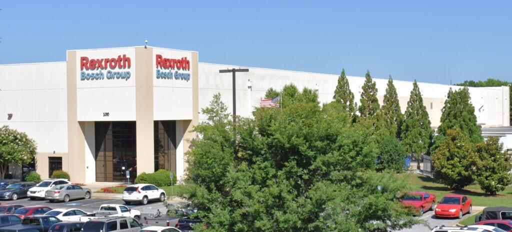
As of the 2012 U.S. Census, there were 672 businesses or firms in Fountain Inn.
Fountain Inn History
The earliest recorded inhabitants of the area that would become South Carolina and Greenville County are the Cherokee tribe. Hernando de Soto, a Spanish explorer, was the first European to document the existence of the Cherokee people in 1540. While de Soto’s expedition did not directly traverse the future Greenville area, it did document the Cherokee people east and north of the Greenville area. Additionally, the Cherokee people considered the Greenville area their territory before and during the time of de Soto. Oral histories from the Cherokee people have been passed down, along with the documented works of a Gentleman of Elvas, a member of the expedition, published in 1557. In addition, the report of the expedition was completed in 1544 by Luys Hernández de Biedma, another member of the expedition. The diary of Rodrigo Ranjel, De Soto’s secretary, was utilized by Gonzalo Fernández de Oviedo y Valdés in his writing of La historia general y natural de las Indias published in 1851.
In the latter part of the 17th century, the English began to colonize the Carolinas. At first, this colonization was mostly limited to the coastal areas with ports, such as Charleston (Charles Towne). By the early 18th century, this colonization had begun to spread out from the coastal areas and by the mid-18th century, migration to the South Carolina backcountry was rapidly expanding.
In 1769, the colonial governor established seven judicial districts throughout South Carolina to help establish law and order. These judicial districts covered present-day South Carolina with the exception of the area inhabited by the Cherokee tribe in the upper western part of the state. This area would roughly become the present-day South Carolina counties of Greenville, Anderson, Oconee, and Pickens. This area remained in control of the Cherokee people and outside the judicial authority of the state up until around the time of the American Revolution.
Leading up to and during the American Revolution, there was a large divergence between colonists regarding American independence in the backcountry of South Carolina. Loyalists to Great Britain greatly outnumbered the colonists who were in support of American independence, so much so that the war in the south during the American Revolution is more comparable to a civil war than a typical revolutionary struggle. The type of “red hot” animosity and fighting that was taking place within the population set the stage for both belligerents seeking an alliance with the Cherokee people.
Nonetheless, the continued settler encroachments into Cherokee territory led to a conflict between the Patriots. The Cherokee, allying with many other Native American tribes in 1776, attacked settlers in South Carolina, Georgia, North Carolina, and Virginia. In response, militia and Continental soldiers began retaliatory attacks against Native American villages, leaving almost all villages and crops in the region destroyed. The conflict resulted in the Treaty of DeWitt’s Corner being signed in May 1777, whereas the Cherokee people ceded land in North Carolina and almost all their land in South Carolina. These lands lost in South Carolina included most of present-day Anderson, Greenville, Oconee, and Pickens counties.
Soon after the Revolutionary War in 1784, the sale of land in the former Cherokee territory began. The South Carolina General Assembly formed Greenville County in 1786 as a result of the increased settlement of that area. While there is no documentary evidence, Greenville County was purportedly named in honor of American Revolutionary War Continental Army Major General Nathanael Greene. Greene’s leadership of the Continental Army and militia forces in the south ultimately led to American independence from Great Britain.
These early settlers to Greenville County were primarily farmers and subsistence farmers for the first ten years or so. This all changed for Greenville County (and any place that could produce cotton) in 1794, with Eli Whitney’s patent of the cotton gin. The cotton gin is a machine that speeds up the process of separating cotton fiber from the seeds and husks. Before the cotton gin’s invention, this separation had to be performed by hand and was a very tedious, labor-intensive process.
The stark contrast in cotton cultivation can be summed up in production numbers. Cotton production in 1793, the year before the cotton gin patent, totaled just 94,000 pounds within the entire state of South Carolina. Seven years later, in 1800, 6,500,000 pounds of cotton was produced just in the South Carolina upcountry. Production continued to climb with additional cultivation and by 1810, South Carolina produced 50,000,000 pounds that year. Even though there was more cotton cultivation going on in the upcountry, more wheat and corn were produced than cotton in Greenville County from 1800 to 1860 . This non-emphasis on raising cotton as compared to other areas of South Carolina may have been due to limited transportation in the county. When the railroad arrived in Greenville County, cotton production did increase because of the increased access to markets.
Before the railroad, South Carolina’s backcountry had a very limited network of roads. Some of these roads would in no way meet the modern-day definition of the word “road.” In this road network were well and regularly traveled roads, such as the “Old State Carolina State Road” which was opened to European settlers in 1747. This famous early road originated in Charleston and went for approximately 180 miles to Spartanburg County, connecting with the Catawba Indian Trial and the Old Cherokee Path.
Another road completed in the early 1800s, the Greenville-Laurens Road, was the origin of the City of Fountain Inn. Fountain Inn is located, roughly, halfway between Greenville and Laurens. The stagecoach route that utilized the Greenville-Laurens Road was connected to Columbia and Charleston, as well as Greenville and Asheville, North Carolina.
The genesis of Fountain Inn was a natural spring next to the Greenville-Laurens Road. After the road opened, this spring became a rest stop for weary travelers. A tavern to service travelers was quickly established at this location. In 1818, merchant William Toney opened a general store nearby. While there is no documental evidence to show exactly how or when the settlement was formed, the best hypothesis is the late 1820s or early 1830s. What is known by documentation is that Fountain Inn received its first Post Office in 1832.
Between the 1830s and the American Civil War, Fountain Inn remained a small settlement with not a great of deal of change occurring. Since raising cotton and plantations were not a large part of the Greenville economic base, the severe economic downturn that occurred at the end of the war in most of the state, did not occur. However, railroads and textile production had become the economic drivers for the region by the end of the 1800s.
The first railroad in Greenville County was the Greenville & Columbia Railroad (G & C RR), chartered in 1845. However, it was not fully operational until 1854. The Greenville and Columbia Railroad was not a viable financial enterprise and was reorganized into the Columbia and Greenville Railroad in 1880. However, the Greenville & Columbia Railroad proved there was economic demand for a railroad in Greenville County and the region.
The laying of the rail lines for the Greenville & Laurens Railroad through Fountain Inn was the single most important economic development in the city’s history up to that point. The rail line was completed in 1886 and a depot was constructed in Fountain Inn at this same time.
After the Civil War, Noah Cannon purchased a large tract of land south of the original inn and opened a general store. Once the decision was made for the Greenville & Laurens Railroad’s rail line to come through Fountain Inn, land developer James I. West purchased a half interest in Noah Cannon’s land in 1884. Working together, West and Cannon subdivided the large tract of land into 65 lots. The City of Fountain Inn was chartered on December 24, 1886.
As of 1886, before the arrival of the railroad, Fountain Inn had three stores, a Masonic lodge, a Baptist church, and a school. By 1890, with the arrival of the railroad came a Methodist church and a Presbyterian church. By the early 1900s, Fountain Inn had two hotels, a bank, a pharmacy, and a cotton gin. The Fountain Inn Cotton Mill was constructed by local investors and was in operation by 1898.
The agricultural base of the area along the railroad depot made Fountain Inn the agricultural center for the area. This agriculture base continued with the advent of the highway system that developed in the area when railroad shipping declined for certain crops. After World War II, there was a slow but steady decline in agricultural output.
Textile production in the entire region began a steady decline beginning in the late 1950s and 1960s, with the industry being decimated in the 1970s and 1980s. By the end of the 1980s, 95% of the looms in South Carolina, North Carolina, and Georgia were shuttered. The globalization of the textile industry, combined with the introduction of synthetic fibers and innovations in machinery, radically altered domestic textile production.
Cotton cultivation in the region was being undermined by the new synthetic fibers and the international cultivation of cotton. Synthetic polyester fiber began to overtake apparel textile production, so much so that polyester fiber outsold cotton fiber in the United States by the end of the 1970s.
As with many rural areas that were dependent on agriculture and textile production, the economic recovery was difficult. However, the economic base of Fountain Inn and Greenville County recovered much quicker than other areas affected by this economic turn of events. In 1953, the Greenville Water Works laid waterlines through Mauldin, Simpsonville, and Fountain Inn. The waterline attracted a great deal of diversified industrial development all along its route and can be pointed to as one of the chief economic drivers for the entire area since installation.
By the turn of the 21st century, the improved highway system – along with the completion of U.S. Interstate 385 – has resulted in more diverse industries being drawn to the area. These improved roads and new industries have also resulted in population increases along with a housing boom for Fountain Inn and the surrounding area.
Need Association Management?
Contact Us
How to Start
The Process of Working With Us


REQUEST A PROPOSAL
Request a proposal online or call us directly.


WE WILL REVIEW YOUR CASE
Our team of highly trained professionals will review your case.


RECEIVE A CUSTOM TAILORED PLAN
We will create a customized management plan for your community.


SEAMLESS TRANSITION
We will implement a seamless management transition and integrate our tech.


SIT BACK & RELAX
Enjoy better, affordable and a more reliable, hassle-free management system.
OUR REVIEWS
What Our Clients Say

We never lived in an area where they had HOA’s or property management companies before, so this is all new to us. Our experience with William Douglas PMC is kind of limited, but in recent months we have dealt with it more because our subdivision is being turned over to what will be our HOA very soon. I’ve had questions and each time I’ve contacted WDPMC I have received a timely response.

As Treasurer of our HOA, it’s a pleasure to work with William Douglas Property Management. They make our life so much easier!

This company has helped save our neighborhood.