
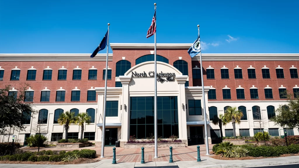
NORTH CHARLESTON, SC
North Charleston, South Carolina, is a city located within Berkeley, Charleston, and Dorchester counties. North Charleston is the third-largest municipality in South Carolina, with a population of 97,471 per the 2010 U.S. Census. In 2019, the estimated population was reported by the U.S. Census to be 115,382. The city has a total area of 73.19 square miles per the U.S. Census. Latitude: 32°53′7″N, Longitude: 80°1′1″W. The street delivery zip codes for North Charleston are 29404, 29405, 29406, 29456, 29483, and 29485. The post office delivery zip codes are 29415, 29419, and 29423. Telephone area codes for North Charleston are 843 and 854.
North Charleston is located in the Coastal Plain Region of South Carolina at an elevation of 25’ above sea level. North Charleston is approximately 6 miles from Meeting Street in Charleston. North Charleston was incorporated on June 12, 1972. North Charleston is considered one of South Carolina’s main industrial hubs and is the largest retail sales, per gross retail sales, market within the state. The city is also a part of the Charleston-North Charleston–Summerville metropolitan area.
A brief historical overview of North Charleston & Surrounding Area / Part One
Archaeological discoveries indicate Native American settlements in the North Charleston area dating back thousands of years. The Native Americans of the region can trace their lineage to the Etiwan and Edisto tribes or the Catawba and Cherokee tribes. The most prominent Native Americans in the area during the last 350 years would probably be the Wassamasaw Tribe of Varnertown. Varnertown is an area north of North Charleston between Summerville and Monks Corner. The Wassamasaw Tribe of Varnertown is reportedly descendants of all four tribes, the Etiwan, Edisto, Catawba, and Cherokee.
The Varnertown Indians and the English colonists had good relations. The Varnertown Indians fought with the colonists in the Yemassee War (1715 – 1717) against hostile Indians. During the American Revolution (1775 – 1783), Francis Marion had several Varnertown Indians fighting with his guerilla forces.
North Charleston is home to Clemson University’s Warren Lasch Conservation Center. The Conservation Center, in recent years, has been working on preserving a 4,000-year-old Native American canoe. The canoe, or more precisely, pieces of a canoe, were found by a diver in 1997 in the Cooper River. The canoe has been moved to the Maryland Archaeological Conservation Laboratory, where it will be placed in a vacuum freeze-dryer for permanent preservation. Hopefully, this process will be completed by 2023 and brought back to South Carolina to be put on display.
Permanent English settlers first arrived in the area in 1670, with the Charles Town settlement. On the 1696 Pierre Mortier Map of the Carolinas, the future North Charleston area is labeled with settler’s names approximately where their land holdings are located. Large swathes of land, primarily by the Ashley and Cooper rivers, are noted on this map as being settled. See the Charleston area portion of this Mortier map below.
From the 1670s until the late 1800s, large plantations dominated agriculture in the future North Charleston area. There were dozens of plantations, many of these in excess of 1,000 acres. The early primary cultivation of these plantations revolved around indigo and rice.
One of the earliest, or possibly the earliest, plantations was the “Retreat Planation.” The earliest date of recorded existence is 1672 with the owner Thomas Hurt. This plantation originally had 498 acres. It was located on what is now the former Charleston U.S. Navy Base at North Charleston.
The Retreat transferred ownership many times and decreased in acreage and slightly increased in acreage over time. In 1798, the owner James Lee sold off tracks of land. One of these tracks, 82-acres, was sold to Theodore Gaillard. Gaillard developed a plantation called Mons Repos. The City of Charleston purchased the property in 1895 and sold it to the United States Navy in 1901. At this time, the United States Navy also purchased Mons Repos and another adjoining plantation, Marshlands Plantation, to create the naval base.
An interesting brick structure still in existence on the former Retreat Plantation property is known as the “Dead House.” The so-called Dead House is believed to have been constructed around 1765 by the then-owner Sir Edgerton Leigh. Leigh was the colony’s appointed powder receiver (Gunpowder) and built, for safety reasons, the powder magazine away from the residence. The Dead House name probably originated from the erroneous belief that the brick structure was a mausoleum.
While the origin of the Marshlands Plantation can be traced back to 1682, the plantation’s surviving main house only goes back to 1810. The white clapboard house was listed on the National Register of Historic Places in 1973. In 1961, the entire house was loaded onto a barge and relocated to 331 Fort Johnson Road on James Island. The house is now part of the marine research facility, Hollings Marine Laboratory.
Most likely, the largest plantation was Elms Plantation, with 4,350 acres. This plantation was established in 1682 for rice cultivation. This plantation was so large, part was situated in what became North Charleston, and part was situated in what is now Goose Creek. The plantation was established by Ralph Blake Izard I. His great-grandson, Henry Izard (1771-1826), on March 13, 1825, entertained the Marquis de LaFayette on his famous tour of America at the Elms Plantation. Charleston Southern University is now located on a portion of the Elms Plantation property.
Archdale Hall Plantation was founded in 1681, and by 1783 encompassed around 3,000 acres. This plantation had the distinction of being owned by the same family for seven generations, the Baker family, the longest time period for one family’s ownership of a plantation in South Carolina history. The plantation primarily cultivated indigo and rice. The former plantation property has been developed into Archdale Homeowners Association. The foundation for the second plantation house built sometime before 1740 is still visible on the property.
One of the more famous plantations was Windsor Hill Plantation. Part of this fame arises from the Moultrie family that once owned the plantation. First established in 1701, Windsor Hill Plantation was once 1,348 acres situated in North Charleston and up to parts of Goose Creek. Revolutionary War General William Moultrie (1730 – 1805) was once buried there in the Moultrie family cemetery. In 1776, then Colonel Moultrie at a fort on Sullivan Island prevented the British from capturing Charleston. This fort was later renamed Fort Moultrie in his honor. After Sullivan Island, he was promoted to brigadier general and fought off the British once again at Port Royal, South Carolina, in 1779. After the American Revolution, he was elected South Carolina lieutenant governor and governor twice. In 1977, his remains were exhumed from the Moultrie family cemetery and reburied at Fort Moultrie on Sullivan’s Island.
Windsor Hill Plantation or parts of the original plantation are made up of eight subdivisions or homeowner associations. They are Ricefield, Mill Creek, The Colony, Indigo Palms, Indigo Ridge, Moultrie Place, Plantation Pointe, and Governor’s Estate. There is one master association called Windsor Hill Plantation Parkway Association.
After the American Civil War, most large plantations in the future North Charleston area were divided into smaller farming interests. Beginning in the early 20th century, the industry became more prevalent and became an important economic driver for the North Charleston area, along with the US Navy installations.
North Charleston was incorporated in 1972. The first neighborhoods or areas to be included in this incorporation were Russelldale, Ferndale, Morningside, Liberty Park, Palmetto Heights, Singing Pines, Dewey Hill, Liberty Homes, and John C. Calhoun Homes neighborhoods. North Charleston grew in the following decade through annexation. With the annexation of the Charleston Naval Shipyard, North Charleston was the fourth-largest city in South Carolina by December of 1972. On July 3, 1976, North Charleston was the third-largest city in the state.
In recent years, the biggest thing to happen to North Charleston was the closing of the Charleston Naval Base in 1996. This base closing had a major economic impact on the entire area. In 2009, Boeing selected North Charleston for its 787 Dreamliner assembly plant. This plant brought thousands of new jobs to North Charleston and had a major positive economic impact on the area.
Historic North Charleston Population Per the U.S. Census
1980 62,479 —
1990 70,218 12.4%
2000 79,641 13.4%
Male population: 49.0%
Per the U.S. Census Bureau:
2010 97,471 22.4%
2019 115,382(est.) 18.4%
Bachelor’s degree or higher 2015-2019: 22.8%
Population under 18 years: 24.6%
Population 65 years & over: 10.7%
High school graduate or higher 2015-2019: 83.9%
Median home value 2015-2019: $174,800
Total households 2015-2019: 41,874
The City of North Charleston had 8,017 businesses or firms within the city limits as of the 2012 U.S. Census.
Need Association Management?
Contact Us
How to Start
The Process of Working With Us


REQUEST A PROPOSAL
Request a proposal online or call us directly.


WE WILL REVIEW YOUR CASE
Our team of highly trained professionals will review your case.


RECEIVE A CUSTOM TAILORED PLAN
We will create a customized management plan for your community.


SEAMLESS TRANSITION
We will implement a seamless management transition and integrate our tech.


SIT BACK & RELAX
Enjoy better, affordable and a more reliable, hassle-free management system.
OUR REVIEWS
What Our Clients Say

We never lived in an area where they had HOA’s or property management companies before, so this is all new to us. Our experience with William Douglas PMC is kind of limited, but in recent months we have dealt with it more because our subdivision is being turned over to what will be our HOA very soon. I’ve had questions and each time I’ve contacted WDPMC I have received a timely response.

As Treasurer of our HOA, it’s a pleasure to work with William Douglas Property Management. They make our life so much easier!

This company has helped save our neighborhood.